
Recovery efforts underway, aftershocks threaten lives
April 20, 2016
A collection of powerful earthquakes and aftershocks rocked Ecuador and the island of Japan this past weekend. The combined number of injured rests at 1,300 with total deaths at 392. Both numbers are expected to rise in the coming days.
Seismic activity ramped up earlier in the week in Japan where a swarm of smaller temblors in the magnitude 4 range prompted officials to warn for potential larger aftershocks in the days to come.
In the city of Kumamoto on Japan’s Kyushu Island, search and rescue teams scrambled to find survivors following days of seismic activity, most notably a 6.2 earthquake on April 14 followed by a magnitude 7.0 shaker on Saturday.
Currently, the death toll is 32 with 16 deaths occurring in Saturday’s quake, according to the Kumamoto prefecture disaster management office.
Seven hours later and over 9,000 miles away, a 7.8 magnitude temblor struck off of the coast of Ecuador in the town of Muisne, some 250 miles north of the capital city of Quito.
The earthquake, which triggered tsunami warnings, caused widespread destruction and death. Initial reports put the death toll at 77 but that figure quickly ballooned to 233, according to Ecuadorian President Rafael Correa.
In Ecuador, 10,000 troops dispersed to help victims affected in the region’s coastal areas hit hardest by the quake.
Both quakes occurred on the Ring of Fire. It is an area at the bottom of the Pacific Ocean that consists of oceanic trenches and volcanic arcs that are responsible for 80 percent of the world’s largest earthquakes, according to the United States Geological Survey.
California also rests in the 25,000 miles of seismic fury that is the Ring of Fire.
Images of crumbled homes and collapsed infrastructure are eerily reminiscent of the images that were seen in the last large scale earthquake to hit the Bay Area, the 6.9 magnitude Loma Prieta earthquake of 1989.
That quake killed 63, injured more than 3,500 and left more than 12,000 Bay Area residents displaced across the region.
Images of a buckled overpass in Guayaquil, Ecuador are similar to those of the Cypress freeway which collapsed in Oakland during the 1989 Bay Area quake.
The temblor caused the demolition of two roadways, the aforementioned Cypress along with the Embarcadero freeway in San Francisco.
Without a major seismic event in more than 25 years, new statistics from USGS attempt to predict the probability of a 6.7 or larger quake on a 30-year scale.
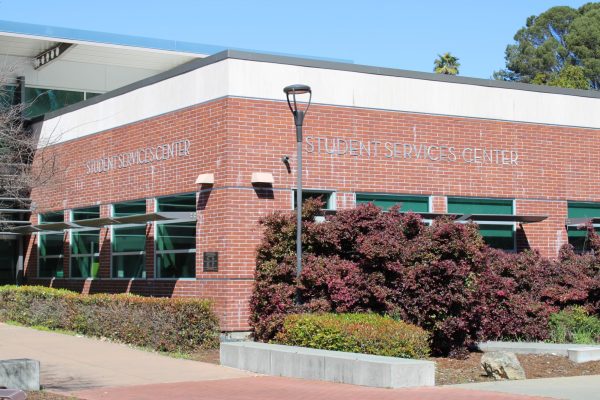
Of the area’s three major faults, the Hayward, the Calaveras and the San Andreas, the Hayward Fault, which bisects the Contra Costa College campus, shows the most potential for activity with a 14.3 percent chance of eruption.
This is opposed to figures on more well-known fault lines like the San Andreas which erupted in 1906, destroying much of the Bay Area in the process.
Even in the face of potential disaster, the Federal Emergency Management Association (FEMA) reports 60 percent of Americans have not practiced what to do in case of an emergency. Only 39 percent of that same group have developed an emergency plan that they have discussed with their family.
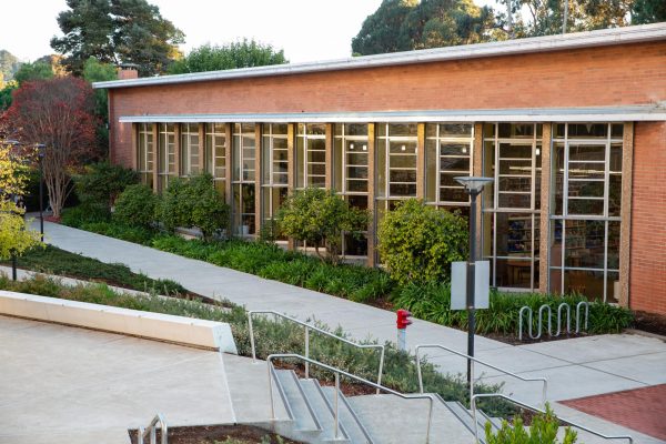
At www. contracosta.edu there is currently no disaster or evacuation plan listed. At CCC, California Shakeout Day is the time the Library holds its earthquake preparedness drill. Students crouch under desks until the all clear is signaled.
“Only about half of the students in the Library participated in the drill,” electric audio and video service librarian Megan Kinney said. “I’m not sure if it is something that is done campuswide.”
Across California, USGS data shows the prospect of a magnitude 8.0 or larger quake occurring in the next 30 years has risen from 4.7 percent to roughly 7 percent. However, the probability for a 6.7 or smaller quake has decreased.
Information about what to do in an emergency, or what should be included in a disaster kit, can be found on redcross.org.