
Active fault transforms terrain, water table raises concerns of liquefaction
October 21, 2016
The Hayward Fault pins Contra Costa College between two branches of its system, with the nearer fault line running parallel to Rheem Creek, a few meters out into the drop-off area.
Splitting off from the larger San Andreas Fault system, the Hayward Fault is a strike-slip fault, where the ground on either side of the fault line moves sideways in a shearing motion, along the fault, rather than thrusting over or under the opposite side.
Specifically it is a transform fault system that forms the boundary between the Pacific Oceanic plate, and the North American continental plate, CCC adjunct professor of geography Teresa Williams said.
Williams said, “Whenever you see a hill on campus, or around it, those have been pushed up by the fault.”
Williams said CCC is close to the expected epicenter of the next earthquake on this fault, which is predicted to be as severe as magnitude 6.8.
The Association of Bay Area Governments Program predicts the area around CCC will be subject to violent shaking, a nine on the Modified Mercalli Intensity Scale.
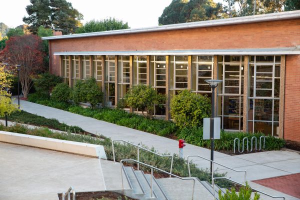
That scale says shaking will be strong enough to overturn “heavy furniture.” Damage will be slight in specially designed structures, like the newest buildings on campus, but could cause partial collapse of ordinary buildings, like the Liberal Arts Building, which Williams said already has visible cracking from the 2014 Napa-Vallejo earthquake.
Williams said the campus is built on sediment deposited by Rheem Creek. The ground is made of conglomerate, sand and clay, she said.
The campus has used the exceptional water table of the Rheem Creek watershed to provide water for the landscaping and athletic fields, and Buildings and Grounds Manager Bruce King said CCC’s well “never missed a beat in five years of drought.”
The water table has required that pumps be used constantly during the seismic trenching, done to determine where buildings may be safely constructed around the fault.
Now, water and the loose soil that flows through campus increases the danger temblors pose. The soil holds on to water and during a temblor it undergoes liquefaction, and acts more like Jell-O than solid ground, Williams said.
While the ground is imitating a liquid there is a tendency for objects denser than the soil, like buildings, to sink.
The Natural Heritage Institute’s assessment of the area says, nearly everything that is not a stony hill, is an alluvial plain been gradually deposited, in part by Rheem Creek itself, over the last 10,000 years, since the San Francisco Bay was flooded with sea water.
This means that all the schools, hospitals, police departments and other services that were built on that big, flat, convenient alluvial plain are in danger from liquefaction, especially those nearest the fault, just like CCC.
Williams said, “At the entrances of buildings, sometimes you see signs that tell you to be aware of carcinogens. All government buildings should have natural hazard signs (to warn of earthquake danger).”